
Boony Doon Airport
This small and secluded clothing-optional beach is off the radar for most Santa Cruz visitors. Located along the base of a cliff about eight miles up Highway 1, it's well protected from gusts of wind, and for that reason it is perfect for a naked lunch—or even just a regular lunch. The only downside is the slightly difficult walk down the cliff. But once there you can actually hear the waves crashing on the shore and the birds calling to each other. Highway 1 at Bonny Doon Road. Drive north from Santa Cruz on Highway 1 about eight miles to the intersection of Bonny Doon; park in dirt lot on the left.

Beach near State Route 1-Bonny Doon Road Intersection
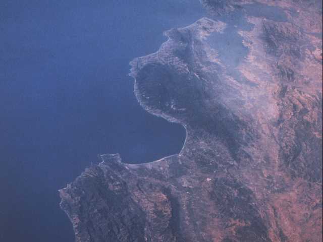
This photo was taken by the crew of the Space Shuttle a few years back. At the top of the image is San Francisco and the greater Bay area. The large bay in the center is the Monterey Bay, with Santa Cruz at the top, and the Monterey Peninsula at the south end. Point Sur and the Big Sur coast are south of Monterey, and jut out into the Pacific. The large dark area north and east of Santa Cruz is the region known as the Santa Cruz Mountains.
Just northeast of Santa Cruz is Scotts Valley, which can be seen as a light colored scar in the terrain. To the northwest is Bonny Doon, in the center of the dark forested area north of Santa Cruz. The Lone Star limestone quarry is visible near the coastline and the tiny town of Davenport.
The San Andreas fault zone is fairly visible, cutting down through the hills west of the San Francisco Bay and on to the south, past Hollister and San Juan Bautista.

No comments:
Post a Comment