Big Sur California

Waves and lingering fog on California's Central Coast at Big Sur


The scenery in Big Sur, California cannot be done justice by film or secondhand account. An eclectic populace and cosmic vibe flows through the area and permeates Big Sur hotels, shops and restaurants. A table with a view isn’t hard to come by in Big Sur. Neither is a sense of well-being. Cliffs, rocks, redwoods and effervescent surf create an epic backdrop for recreation, romance and relaxed exploration.
While there are miles of trails for the dedicated hiker and backpacker, Big Sur also offers spectacular scenery within steps of Highway 1. And for those willing to hike a few miles, the rewards include rapidly changing settings of oak and lush redwood forests, ocean views, rocky streams, and coastal brush.


Be sure to visit Hiking In Big Sur's Website, you will be happy you did.


McWay Falls, Big Sur
Big Sur California
 

San Simeon State Beach, San Simeon California


Within the boundaries of Hearst San Simeon State Park are Santa Rosa Creek Natural Preserve and San Simeon Natural Preserve. Santa Rosa Creek Preserve is an area of approximately 40 acres, which includes valuable riparian forests and coastal wetlands, that provide habitat for endangered Tidewater Goby. San Simeon Natural Preserve consists of approximately 365 acres of vast wetlands, riparian areas, and several undisturbed native plant communities including unique mima mound topography. The Natural Preserve is also the wintering site for monarch butterfly populations. In 1994, a 3.3 mile trail was constructed encircling portions of the San Simeon Natural Preserve and the Washburn Campground. The trail includes scenic overlooks, rest-stop benches and interpretive panels with information on wildlife and habitat. A portion of the trail along the seasonal wetland is wheelchair accessible.

Hearst Castle
William Randolph Hearst told architect Julia Morgan in 1927 that he wanted to built "a little something" on the California coast. Eighteen years later, Casa Grande (commonly called Hearst Castle) crowned La Cuesta Encantada, Hearst's "Enchanted Hill" above tiny San Simeon. It's a 165-room Moorish castle with 127 acres of gardens, terraces, pools and walkways, furnished with Spanish and Italian antiques and art, flanked by three large guest houses. In its heyday, Hearst Castle had a zoo, tennis courts and two magnificent swimming pools.
After Hearst died, family fortunes declined, and they gave Hearst Castle to the state. Today the state Park Service preserves Hearst Castle as a State Historical Monument, and we can all enjoy a glimpse into the Hearst's opulent lifestyle.

Recreational activities include camping, picnicking, hiking, fishing, surfing, beachcombing, bird watching and whale watching. The Junior Ranger Program is a regularly scheduled interpretive program for children. Interpretive walks of the San Simeon Trail may also be available. Information regarding the locations and scheduled time of interpretive programs is available by calling Hearst San Simeon State Park at (805) 927-2035.

Location and Reservation Information
Hearst San Simeon State Park is located 35 miles north of San Luis Obispo on Highway 1, and 5 miles south of the Hearst San Simeon State Historical Monument Visitor Center.The community of Cambria is located 2 miles to the South and offers gas stations and grocery stores. Campground Reservations can be made from March 15 to September 30 by calling 1-800-444-PARK (7275). The rest of the year the campground is open on a first come, first serve basis.


Pismo State Beach, Pismo, California


A 60-acre regional beach, pier and promenade. Public restrooms, sand showers, volleyball courts, children's play equipment, benches, drinking fountains and many ocean recreation opportunities are available. A parking lot is located adjacent to the Pier and at the end of Addie Street. Handicapped parking is also available. Pismo Creek can be observed with a variety of bird life by walking down Addie Street where the creek merges into the ocean.
Pismo is the only beach in California where the area along the water’s edge is firm enough to support travel by ordinary street vehicles. At the southern end of the State Beach is the 2800 acre Ocean Dunes SVRA, State Vehical Recreation Area, for off highway vehicles. This is a 5 and half mile stretch of beach which is open to street vehicles and off road vehicles. Passenger cars can easily drive on the northern portion of the State Beach, but four wheel drive vehicles are recommended for driving to the camping area and the off highway vehicle use areas in the SVRA Park.

Directions:
North 101: Exit Wadsworth. Turn west on Wadsworth, South on Highway 1 and west on any street towards the ocean.
South 101: Exit Highway 1. Follow Highway 1 and turn west on any street towards the ocean.


Morro Strand State Beach, Morro Beach California


This beach is a coastal frontage park featuring outstanding picnic sites. A three-mile stretch of beach connects the southern and northern entrances to the beach. Fishing, windsurfing, jogging, Horseback riding and kite flying are popular.

Morro Strand State Beach
  • Kayakers who paddle Morro Bay will find sheltered waters and plenty of shorebirds. Pack a lunch to eat on a sandspit, paddle past a heron rookery, or look for otters in the water. Or hook up with a guided sunset or full-moon tour.

  • A few miles south of Morro Bay, Montaña de Oro State Park has trails, campgrounds, and undeveloped beaches. Spooner's Cove is the best-known of several protected spots—explore on your own or take a guided walk with the Central Coast Natural History Association.

  • Big winter waves and jagged rocks are standard at Hazard Canyon Reef in Montaña de Oro State Park—experienced surfers only.

  • Cast a line into the surf at Morro Strand State Beach. Watch for peregrine falcons wheeling overhead and snowy plovers at your feet. There are beachside campsites here as well.

  • Learn more about the flora and fauna of Morro Bay's beaches and estuary at the Museum of Natural History in Morro Bay State Park.


  •  Location - Directions
    The beach is two miles south of Cayucos on Highway 1. Take the Yerba Buena exit, a short distance north of Morro Bay, 24th Street allows access to the northern part of the beach.
    
    
    File:Morro Rock and Morro Strand State Beach.jpg
    Morro Rock and Morro Strand State Beach
     

    Carpinteria State Beach, Carpinteria, California

    Please Note:  For the current status of this park, please call (805) 968-1033.
    Twelve miles south of Santa Barbara, Carpinteria State Beach offers a mile of beach for swimming, surf fishing, tidepool exploring and camping. The Spanish named the area Carpinteria because the Chumash tribe, which lived in the area, had a large seagoing canoe-building enterprise, or "carpentry shop" there, because of naturally-occurring surface tar which was used to seal the boats.

    Seals and sea lions can be seen in the area December through May, as well as an occasional gray whale. Tidepools contain starfish, sea anemones, crabs, snails, octopi and sea urchins.
    Location - Directions
    The park is off U.S. 101, twelve miles south of Santa Barbara.  Exit at Casitas Pass Road, travel West on Casitas Pass Road to Carpinteria Avenue, make a right at the signal; then turn left on Palm.  The beach is at the end of Palm Avenue.

    Santa Barbara Califonia


    Waves, Fun and shopping what else do you need? The county is famous for its 
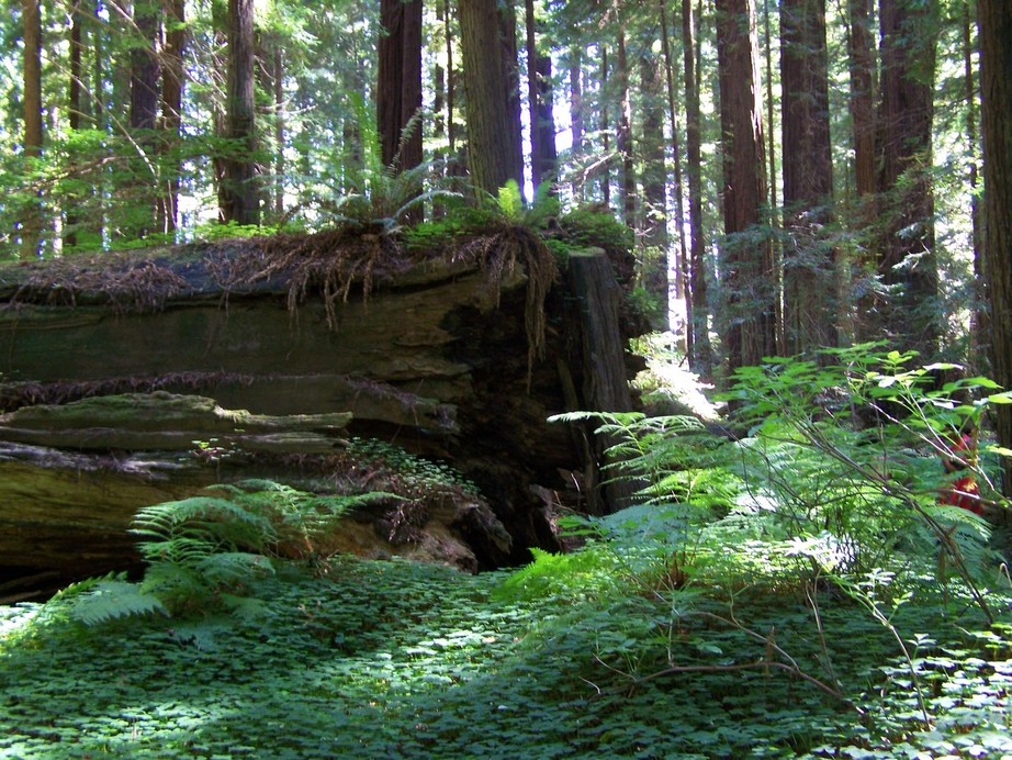
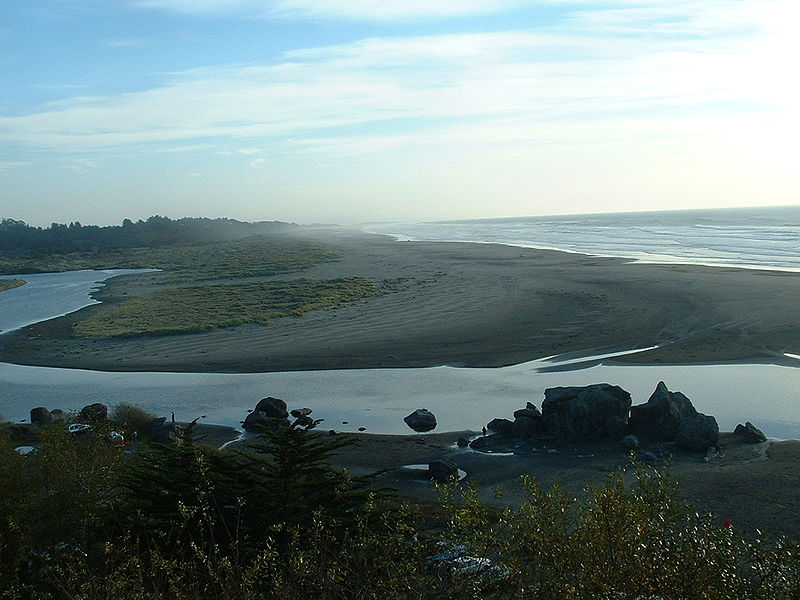
beautiful beaches, most of which lie along a unique south-facing stretch of coastline that affords beach visitors sun all day long and more shelter from winds and surf. But there's far more here than beaches. The county encompasses enormously varied terrain: Nearly one-third of its total acreage is set aside in the Los Padres National Forest, which includes the rugged San Rafael Wilderness Area. Santa Barbara County's topographical diversity creates a variety of outdoor recreational opportunities in a relatively compact area. Snuggled between the 4,000-foot-high Santa Ynez Mountains and the Pacific Ocean, Santa Barbara's 200,000 residents enjoy some of California's best weather, earning it the title "American Riviera."

    Santa Barbara is famous for its beaches, and visitors spend their time pedaling bicycles and quadricycle surreys or walking along Palm Drive, browsing the weekly Sunday arts and crafts fair and visiting Stearns Wharf and Sea Center. State Street, a tree-shaded thoroughfare lined with shops and restaurants leads north from waterfront to city center.
    Old Mission Santa Barbara is one of California's best-preserved and most beautiful Spanish missions, its facade designed from a book on Roman architecture. El Presidio de Santa Barbara State Historic Park gives a glimpse into a Spanish soldier's life in early California.

    Nearby Santa Ynez Valley is Santa Barbara's wine country, home to vintners such as Zaca Mesa, Fess Parker, Firestone, Byron and Cambria.
    View ImageView ImageView ImageView Image


    Befitting its long history as getaway for the rich and famous, Santa Barbara's top digs are priced to match their reputation. Inn of the Spanish Garden's 23 rooms take top honors, followed by San Ysidro Ranch, a popular romantic refuge since newlyweds John and Jackie Kennedy honeymooned there in 1953. On the eastern waterfront lies Four Seasons Biltmore Hotel, famous for its lavish Sunday brunches. More affordable but still centrally located, the West Beach Inn and Marina Beach Motel offer comfortable, clean lodging.

    Carlito's Café y Cantina serves excellent Mexican cuisine, Arigato dishes up top-rated sushi and Chad's is a popular spot for a romantic repast, but judging from persistent lines outside Brophy Bros seafood restaurant, a seat on their balcony overlooking the marina is one of the hardest in town to come by. Speaking of lines, there's almost always one outside tiny taqueria La Super Rica, waiting to order the inexpensive, authentic, fresh Mexican food that made it one of celebrity chef Julia Childs' favorites.

    A few miles outside Santa Barbara, nineteenth-century stagecoach stop Cold Spring Tavern is a charming spot for steaks, drinks and impromptu Sunday afternoon concerts, its clientele an eclectic, convivial mix of motorcycle riders and luxury sedan drivers.
    

    Santa Barbara Mission

    Sonoma Coast State Beaches


    The approximately 8 miles of coast from the Bodega Bay Head to a little past Jenner is all Sonoma Coast State Beach property. Beach accesses trails and parking lots are regularly maintained. Many include a combination of restrooms, trash cans, RV and camping sites.Sonoma County coast in Northern California. Bodega Bay is a small fishing village an hour and a half north of San Francisco. A short drive from either San Francisco, Oakland, and the Sacramento area.


    Sonoma Coast State Beaches
    Arranged South to North
    Bodega Head
    South Salmon Creek Beach
    North Salmon Creek Beach
    Miwok Beach
    Coleman Beach
    Arched Rock Beach
    Marshall Gulch
    Carmet Beach
    Schoolhouse Beach
    Portuguese Beach
    Gleason Beach
    Rock Point
    Duncan's Landing
    Wright's Beach
    Furlong Gulch
    Shell Beach
    Blind Beach
    Goat Rock

    Long sandy beaches below rugged headlands, a craggy coastline with natural arches and secluded coves are features that make Sonoma Coast State Park one of California's most scenic attractions.

    The Beach, actually a series of beaches separated by rock bluffs and headlands, extends 17 miles from Bodega Head to Vista Trail located 4 miles north of Jenner. Beachcombers, fishermen, sunbathers and picnickers can access the beach from more than a dozen points along coast Highway 1.

    While the north coast weather can be foggy in the summer, it usually burns off by midday and the cool ocean breezes make the Sonoma Coast a haven for visitors seeking to escape the inland heat.

    Mendocino County Campgrounds & R.V Parks

    Camping Map

    Elk California, Mendocino County


    The city of Elk, also known to some as Greenwood, is truly one of the most stunning stops along the Northern California coast. In this little town of about 200, you'll find amazing views of the Pacific Ocean, thanks to its location on a cliff above the water.

    Located on Highway 1, just south of Route 128, Elk was named for the animals that inhabit the area, often visible among the open expanses.

    Elk is also quite popular for its many wonderful B&Bs. Though the town is small, the inns fill up fast and their reputations are well-known among B&B lovers. Many boast restaurants manned by some of Northern California's best chefs.

    Those traveling through town will also want to make a stop at Greenwood State Beach. Besides beach access and a great view of the ocean, you'll find a museum here that attests to the town's fascinating lumbering history.

    Fun times in Elk include the Great Day in Elk Parade and Carnival, held each September for more than 30 years and staged to raise funds for the Elk Community Center.

    Arcata California, Humboldt County, California

    Arcata, CA : Humboldt State UniversityArcata, CA : Arcata Community Forest
    Arcata Community Forest
    Arcata, CA : scenic views
    Dome at Humboldt State University
    Arcata, CA : Dome at Humboldt State University, Arcata, CA

     Just north of Eureka, Arcata is a small university town bustling with year-round student and community-related events.
      Originally named Union Town, Arcata was founded in 1850. Loggers and gold miners who panned the local rivers were some of the town’s first inhabitants. Victorian architecture and murals around town are a few reminders of the rich history of Arcata.
      To this day the Plaza — a classic town square — is a true community focal point used for numerous special activities, as well as an everyday place to hang out and browse downtown businesses. All year long the Plaza plays host to festivals, fundraisers, races and artistic events, drawing thousands of residents and visitors.
      The Plaza is also home to one of California’s longest running Farmer’s Markets and is held on Saturdays from 9 a.m. to 2 p.m. April through October. Other big annual events downtown include the Oyster Festival, North Country Fair, Pastels on the Plaza and the 4th of July Jubilee and the Kinetic Race.
      Another center for community activities is Humboldt State University. The university is the northernmost branch of the California State University system and one of the largest employers in Humboldt County. HSU offers a variety of educational opportunities ranging from fine arts and sciences, to business and forestry. Other campus activities include theater productions, concerts, sporting events, art shows and significant guest speakers.
      Sustainability and protecting natural resources is a source of pride for the community of Arcata. The Arcata Community Forest is one of the only sustainable community forests in the Western United States and is comprised of 1,800 growing acres of timberlands. Through sustainable practices, the second-growth redwood forest has been able to provide revenues for the care and development of city recreation.
      The Arcata Marsh and Wildlife Sanctuary, located on the Pacific Flyway, is home to more than 3,000 exotic birds. The marsh is an innovative wetland system and environmentally sound wastewater treatment solution.
      The marsh is one of several activity locations for Arcata’s annual Godwit Days. The event draws bird enthusiasts for a weekend of exploration, sightseeing and education throughout the marsh and community.


    “Radio Without The Rules” // Ping-Pong
     Victorian architecture is all over this town


      My Favorite little drive thru Coffee place
    Related Posts Plugin for WordPress, Blogger...